India Map Political/Physical
✨ Premium Quality
India Map Political/Physical

India Map Political/Physical

✅ In Stock (154 available) (KCPR1861/KC0/861)
₹1

✨ Special pricing - Limited time offer!

Product Description

Comprehensive educational tool featuring detailed India map with political and physical geography. Perfect for students, teachers, and geography enthusiasts to explore Indian states, capitals, boundaries, and geographical features. Ideal for classroom learning, homeschooling, and reference purposes. High-quality print ensures clear visibility of state boundaries, major cities, rivers, mountains, and important landmarks across the Indian subcontinent.

📋 Specifications:

Physical-0 (237): 1
Political-0 (234): 1
🚚
Free Delivery

Orders above ₹1,500

📦
Magical Packaging

Carefully wrapped with love

🔄
Easy Returns

7-day return policy

✨ More About This Product

Master Indian geography with the India Map Political/Physical from Katyayani Creations. This blank outline map of India is perfect for students to practice marking states, capitals, rivers, mountains, and geographical features.

Key Features:

  • Blank outline map of India (Political/Physical)
  • Clear boundary lines for states and borders
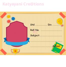
  • Fields for Name, Roll No, Class & Date
  • Standard size suitable for school submissions
  • Clean, high-quality printing on quality paper
  • Perfect for geography practice and exams
  • Suitable for CBSE, ICSE & state board students

An essential study tool for geography students. Practice marking states, capitals, rivers, mountain ranges, and other geographical features. Stock up for exams and class assignments!

Customer Reviews

No reviews yet. Be the first to review this product.